Area History
Quirk Creek is part of the ancestral lands of the Tsuut’ina Nation (“Sarcee”), a signatory to Treaty No. 7. A reservation was created for the Nation north of Quirk Creek in 1880.
In the 1870-80’s Quirk Creek was known as the North Fork of Sheep Creek or simply “North Fork”. John Quirk, an Irish settler established the Quirk Cattle Ranch in the 1880’s. He and his wife came from Montana by covered wagon, driving a herd of 650 head of cattle. The name “Quirk” became well known in the early days as the Q Ranch grew and their herd grew to 2000 head. 140 years have passed, and the area remains rich in cattle ranching with many other well-known names including the Fishers, Wares, Kendalls and Balls. Local creeks and mountain peaks in the area also bear their names.
Natural Gas Discovery
Natural Gas Reserves were discovered in the Quirk Creek Area in 1967 by Imperial Oil Enterprises. The field was estimated to contain more than 500 billion cubic feet of sour gas and associated liquids. The reservoir is described as a two-zone (Mount Head and Turner Valley) producing formation within Mississippian age carbonates. An outcrop of this formation is visible at Rundle Mountain in Banff National Park.
The original Rundle reservoir extends west into the Kananaskis Country and south of the plant. The reservoir is heavily faulted and folded given its proximity to the mountains and is comprised of several separate reservoir sheets. Most of the gas production is derived from the shallow A sheet. Other gas comes from a deeper plate that is part of the same formation (the “Deep Plate”) located west of the plant. 12 Rundle A wells were drilled to an average depth of 6,500 feet (1980m) and 3 Deep Plate wells were drilled to 9,200 feet (2896m). An 11 mile (18km) gathering system was constructed bringing these volumes to the Quirk Creek Plant for processing.
In 1969 Stearns and Rogers were contracted to build the Quirk Creek Plant, Field and NGL shipping line and in March 1970 construction started and in February 1971 the Plant was online.
Field gathering infrastructure was further developed to include production from the Moose Mountain Area to the Northwest, Millarville Area to the Northeast and as far as Longview from the Turner Valley Oil Field to the Southeast Based upon this existing infrastructure, there is significant potential to direct additional production and reserves to the Quirk Creek Plant.
Moose Mountain & McLean Creek History
The first well in the Moose Mountain area was drilled in 1961. In the winter of 1992/93 Husky Oil drilled a discovery well into the Rundle C Sheet near Moose Mountain in Kananaskis Country. In September of 1993 Husky applied and received approval for pipelines in the Moose Mountain area.
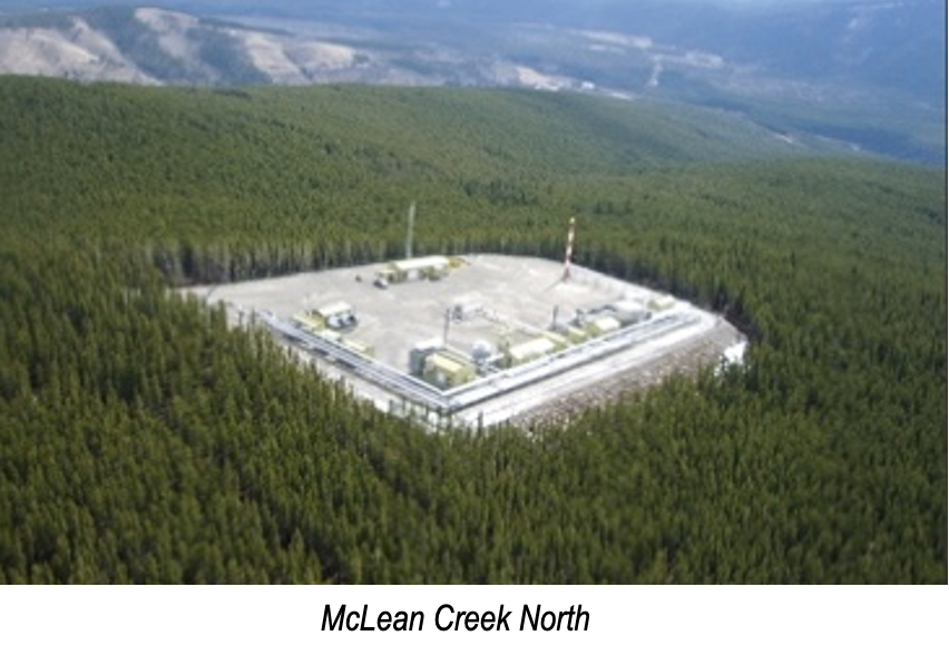
Caledonian’s Moose Mountain and McLean Creek facilities are located at high elevation in areas of unparalleled scenic beauty.
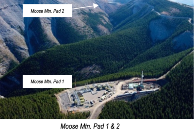
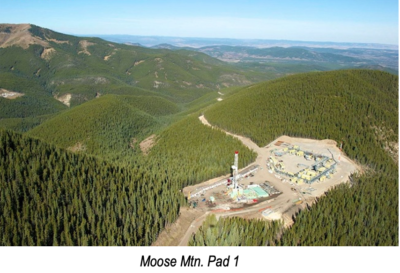
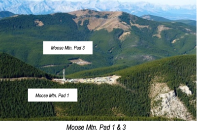
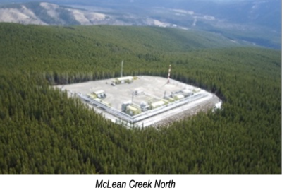
The Moose Oil C Pool is penetrated by five oil wells drilled from two pads. The wells 10-14, 2-23 & 12-23-023-07W5 in the southeast part of the pool are all drilled from Pad 1, while the wells 10-22 and 2-27-023-07W5 are drilled from Pad 3 in the northwest part of the pool. Four of the vertical wells were spuded from 1992 to 1995, where the pool production history began with the two wells on Pad 3 in 1998. Later in 2010 two more vertical wells from Pad 1 were brought on production. A horizontal well 12-23, was spuded in August 2010, tested and brought on production in January 2018, increasing to rates of 800 bopd plus for several months, along with the two vertical wells from the same Pad 1.
Moose Mountain & McLean Creek History
The first well in the Moose Mountain area was drilled in 1961. In the winter of 1992/93 Husky Oil drilled a discovery well into the Rundle C Sheet near Moose Mountain in Kananaskis Country. In September of 1993 Husky applied and received approval for pipelines in the Moose Mountain area.
Caledonian’s Moose Mountain and McLean Creek facilities are located at high elevation in areas of unparalleled scenic beauty.
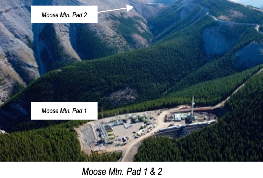
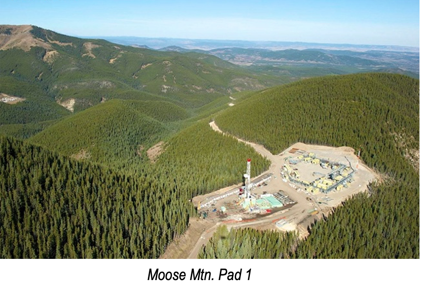
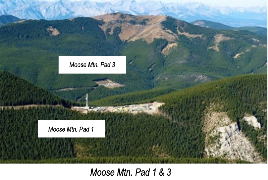
The Moose Oil C Pool is penetrated by five oil wells drilled from two pads. The wells 10-14, 2-23 & 12-23-023-07W5 in the southeast part of the pool are all drilled from Pad 1, while the wells 10-22 and 2-27-023-07W5 are drilled from Pad 3 in the northwest part of the pool. Four of the vertical wells were spuded from 1992 to 1995, where the pool production history began with the two wells on Pad 3 in 1998. Later in 2010 two more vertical wells from Pad 1 were brought on production. A horizontal well 12-23, was spuded in August 2010, tested and brought on production in January 2018, increasing to rates of 800 bopd plus for several months, along with the two vertical wells from the same Pad 1.
